
We said goodbye to lovely Dingle town and headed across the Dingle peninsula via the Conor pass.
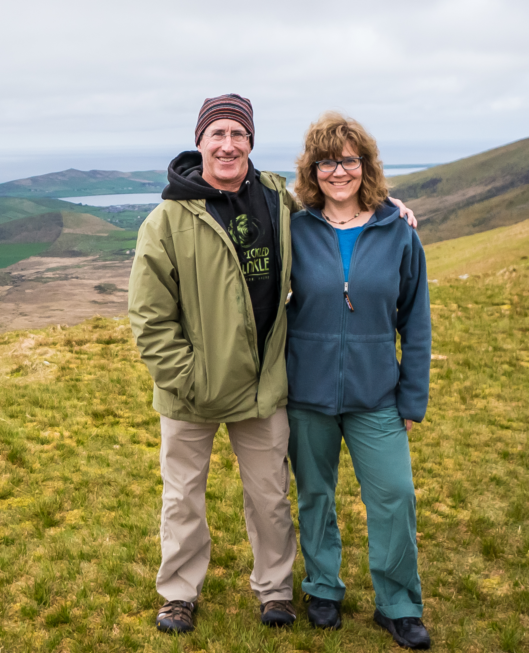
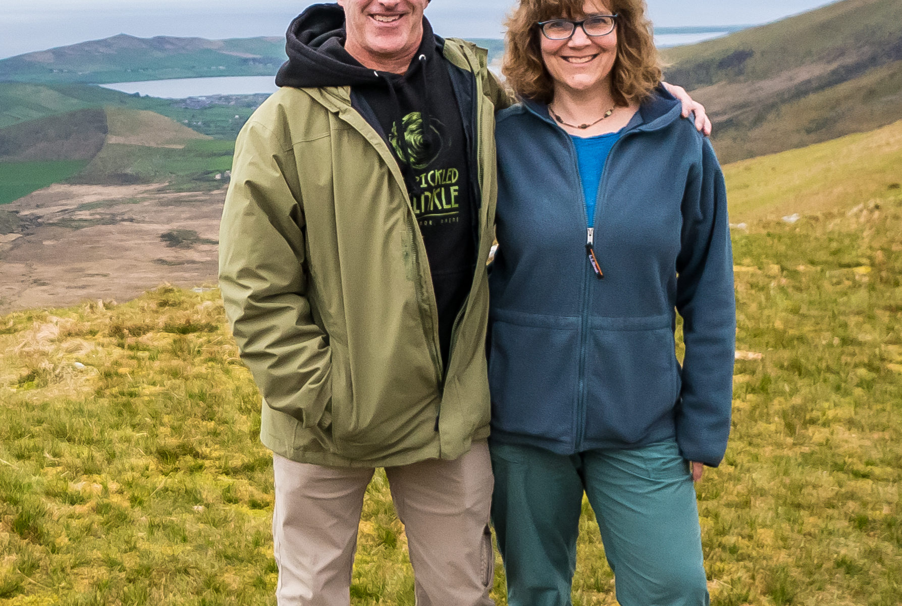
At the top of the pass, we stopped at a scenic spot and climbed to the top of a hill, providing a beautiful view of both Dingle bay to the south and Brandon bay to the north.
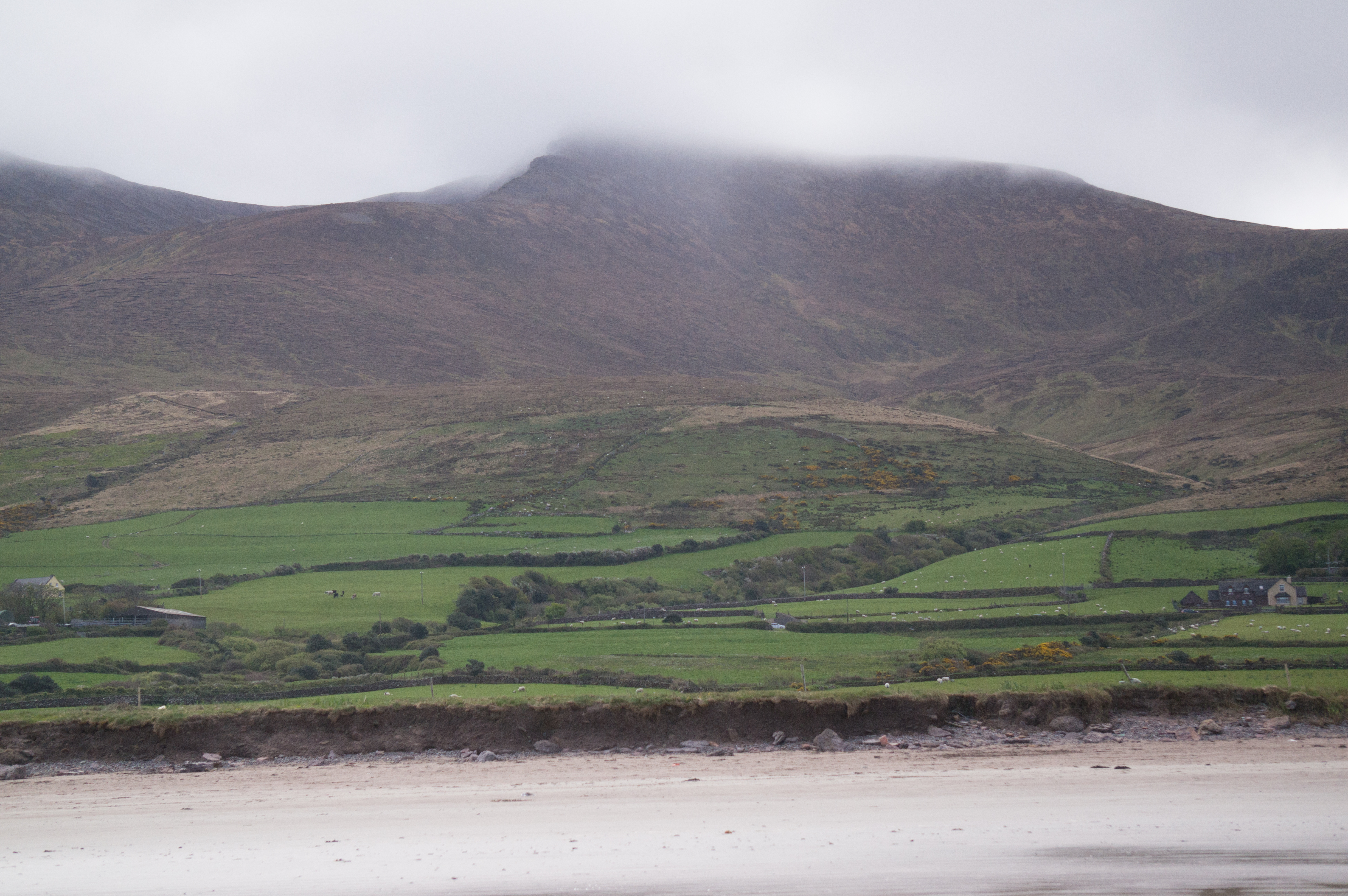
We continued to the north side of the Dingle peninsula, and we stopped to walk on one of the many beautiful beaches there.
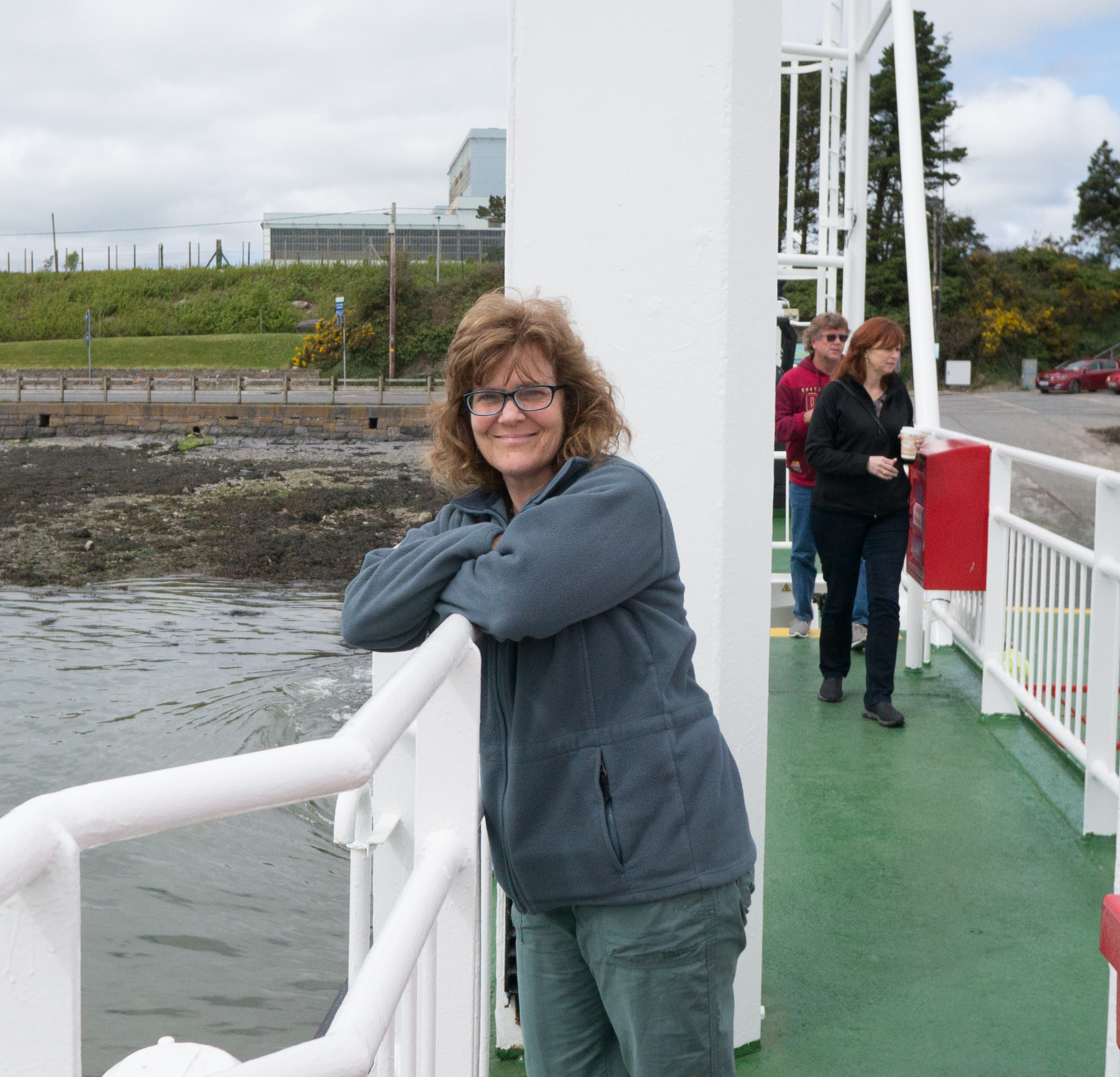
Rather than drive all the way around the Shannon River estuary, we decided to take the ferry from Tarbert to Killimer (which the locals all agreed is a good idea).
It was great to get out of the car for a bit (and let blood return to my white knuckles).
During the relatively long drive from Killimer to Doolin, where we will be for three nights, google offline maps clearly used a “straight line” algorithm, absent any data about actual size or speed of the roads.
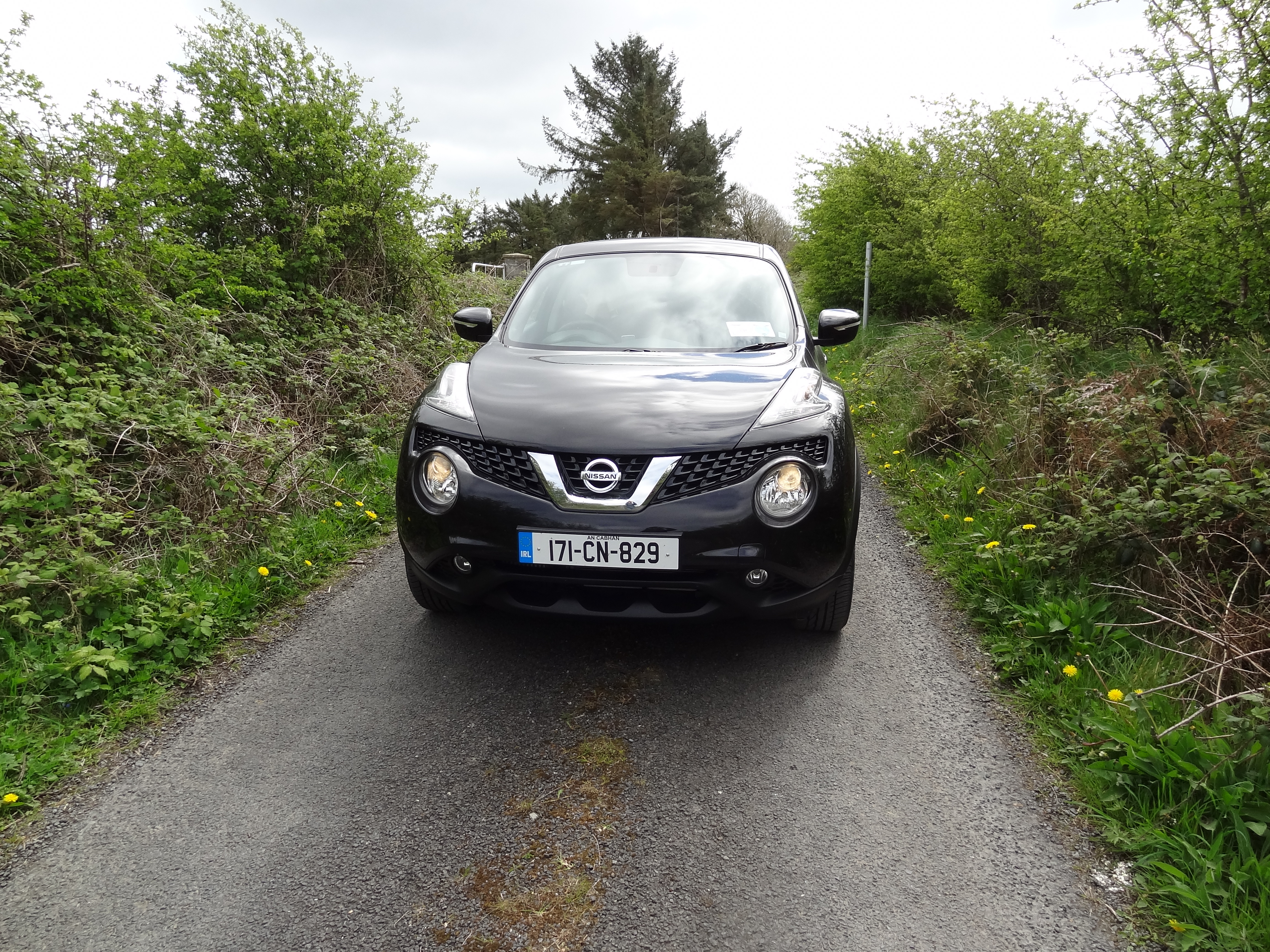
See the picture for our car on a typical two-way road between Killimer and Doolin.
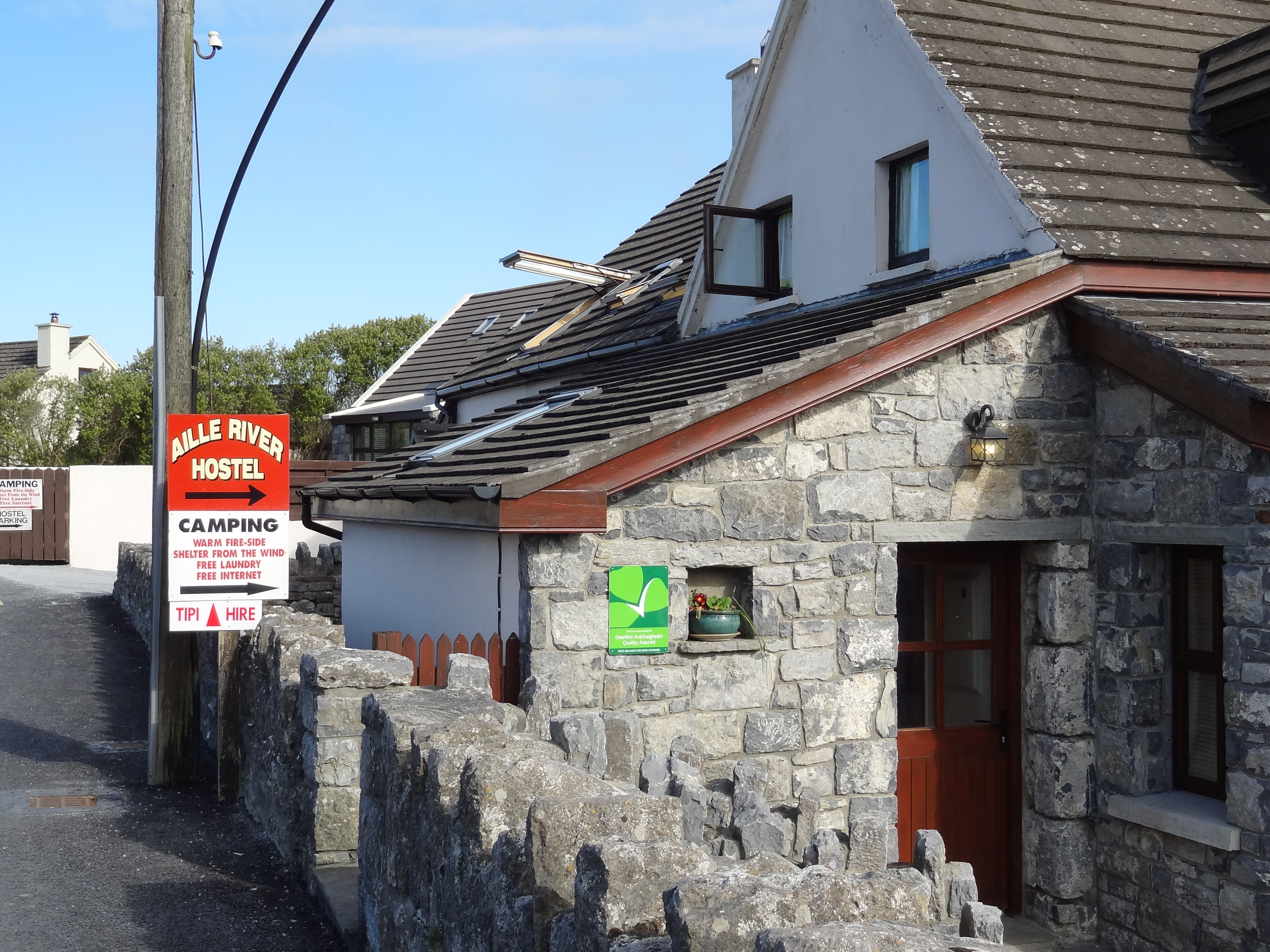
Eventually we reached the idyllic Aille River Hostel, on the banks of the Aille River in Doolin.
The Aille River is interesting because it actually gets smaller as it travels from the mountains to the ocean. This is because there is a huge cave system underneath the river, and water gradually seeps from the riverbed into the caves below.
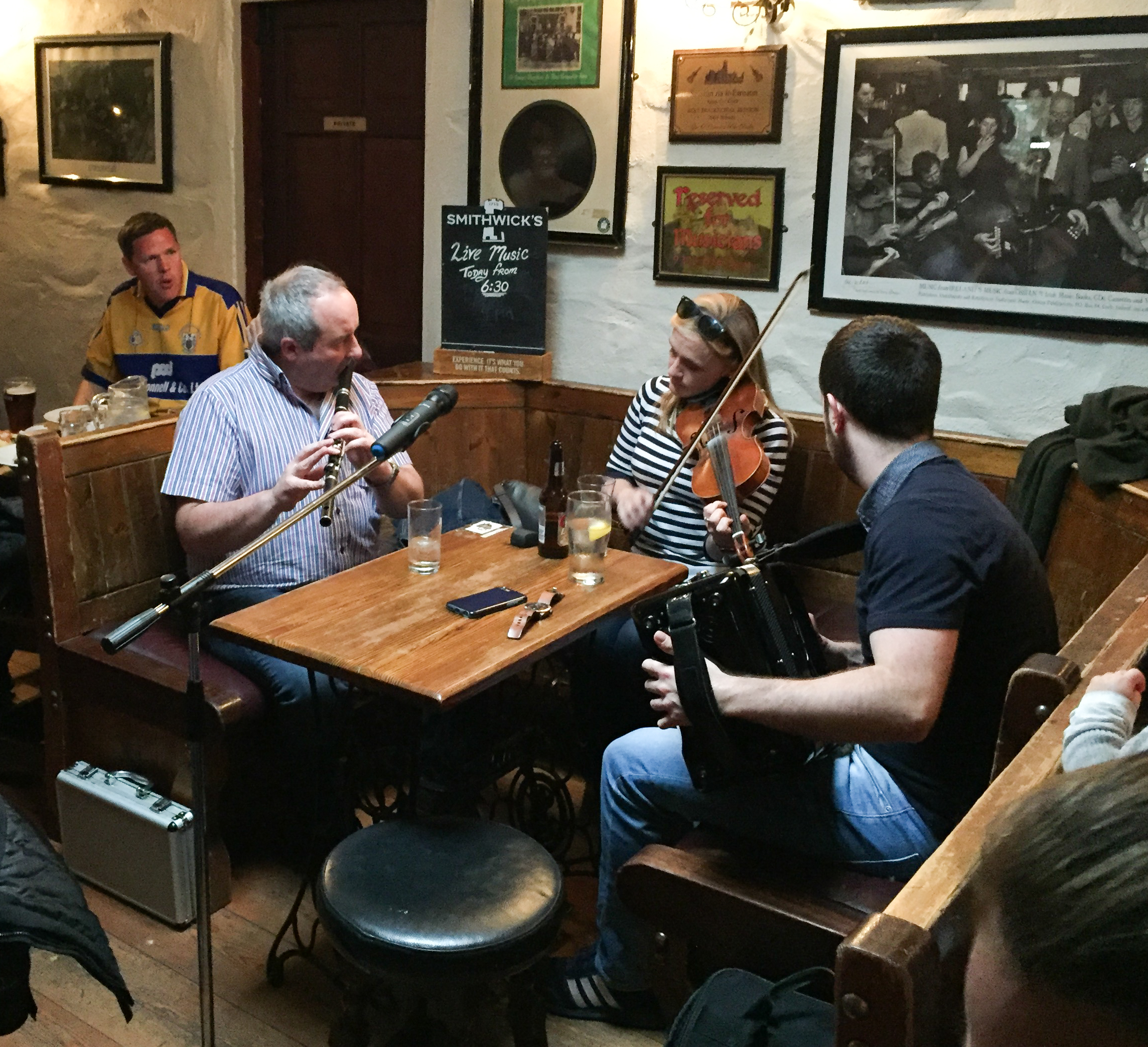
Doolin is a pretty small place, but with tons to do nearby. We never really made to the harbor, which has surfing and other sights. Our first night, we ate at O’Connor’s pub, which was great, and we were treated to some wonderful local music.
One Reply to “Dingle to Doolin (4/17/2017)”